LOS ANGELES – Fierce wildfires continued to burn on Thursday in the Los Angeles area, leaving at least five people dead and nearly 2,000 structures destroyed, officials said.
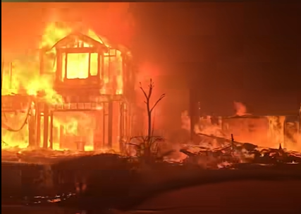
Fast-moving flames burned through homes and businesses as residents fled smoke-filled canyons and picturesque neighborhoods that are home to many celebrities.
Some 130,000 people have been put under evacuation orders, as fires have consumed a total of about 42 square miles — nearly the size of the entire city of San Francisco.
California home collapses live on air
A home in the Studio City neighborhood in the Los Angeles area collapsed live on air due to a new fire that erupted as crews worked to battle multiple other fires blazing in the region.
The Palisades Fire, specifically, is already the most destructive in Los Angeles history.
Here’s what to know about the situation:
What fires are burning in the LA area?
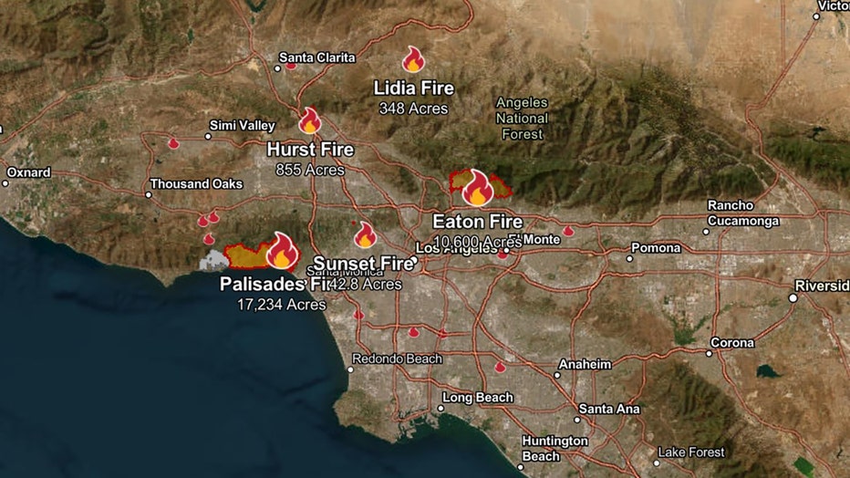
Here is where the current larger fires burning in and around Los Angeles stand, according to the California Department of Forestry and Fire Protection (Cal Fire).
- Palisades Fire: At least 17,234 acres burned and 0% contained.
- Eaton Fire: At least 10,600 acres and 0% contained.
- Hurst Fire: At least 855 acres and 10% contained.
- Lidia Fire: At least 348 acres and 40% contained.
- Sunset Fire: At least 42.8 acres and 0% contained.
LA fires map
Cal Fire maintains an updated map of the current wildfires burning in the region.

Screenshot of a map taken on Jan. 9, 2025, from Cal Fire’s website at 7 a.m. ET.
How did the LA fires start?
While Southern California fire officials have said the cause remains under investigation, the region has dealt with high winds and low humidity.
Many of the towering fires that began on Tuesday were fueled by the powerful Santa Ana winds, which gusted to more than 70 mph in some spots, blowing embers through the air and igniting block after block in the Pacific Palisades and elsewhere.
RELATED: Why are winter wildfires happening in Southern California?
The winds persisted on Wednesday, and for a while, made it too dangerous for aircraft to attack the fires from the sky – further hampering their efforts.
The winds lessened some on Thursday but were expected to return on Friday, forecasters said.


